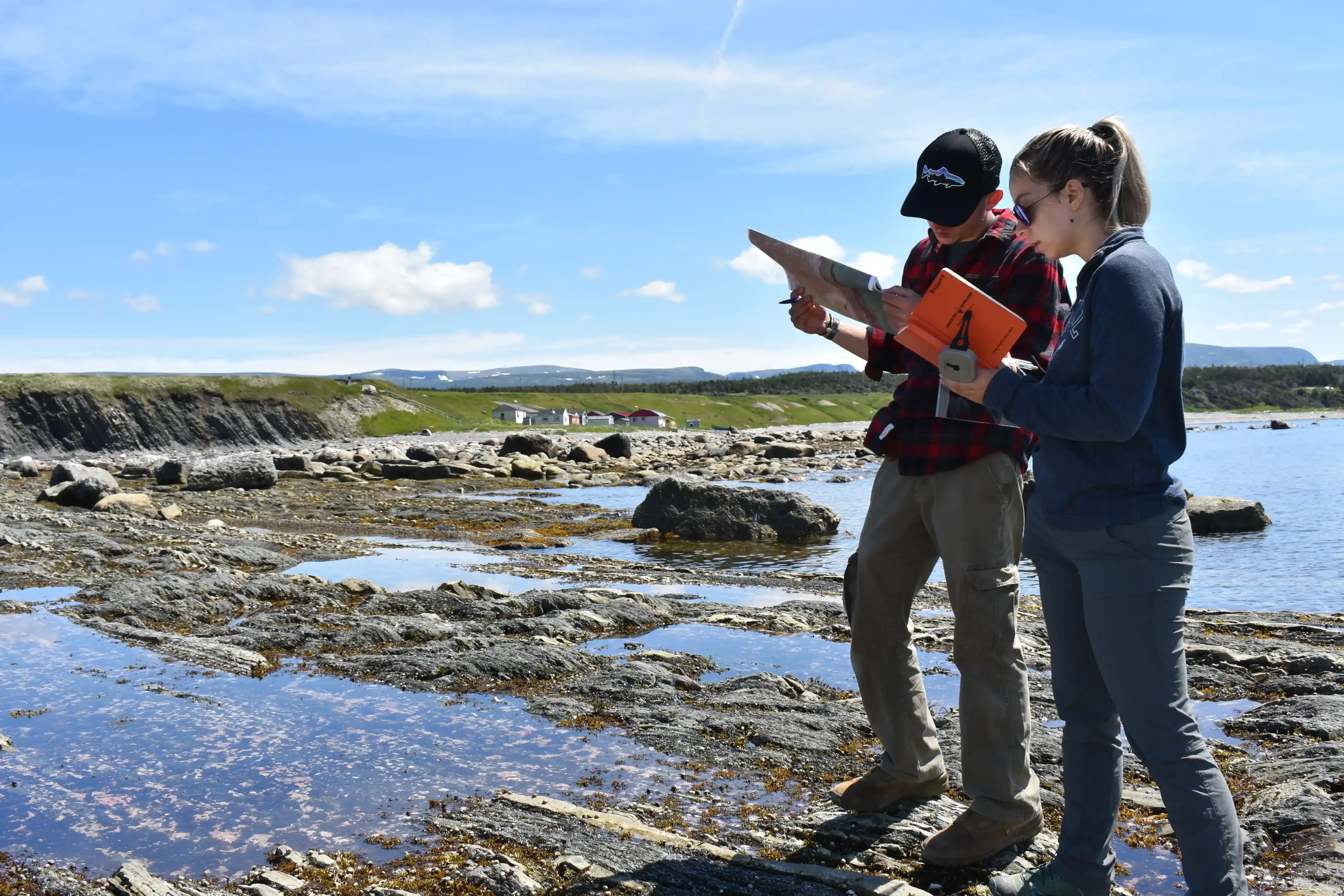
View Original Image at Full SizeStudents mapping the GSSP contact between the Ordovician and Cambrian at Green Point, in Gros Morne National Park, Newfoundland, CA.
Image 362482 is a 4000 by 6000 pixel WebP
Uploaded:
Oct22 26
Last Modified: 2026-10-22 09:03:49
Permanent URL: https://serc.carleton.edu/download/images/362482/students_mapping_green_point.v2.webp
The file is referred to in 1 page
Provenance
No information about the origin of this particular item is recorded. Please
contact SERC serc@carleton.edu for more information.
ReuseThis item is offered under a Creative Commons Attribution-NonCommercial-ShareAlike license
http://creativecommons.org/licenses/by-nc-sa/3.0/ You may reuse this item for non-commercial purposes as long as you provide attribution and offer any derivative works under a similar license.