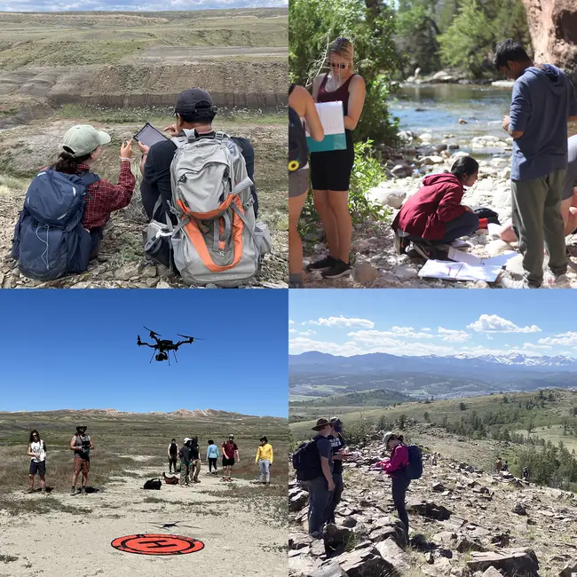
View Original Image at Full SizeDigital mapping of faults (top left); measuring stream chemistry (top right); Starting a drone mapping mission (bottom left); and mapping metamorphic rocks in the Wind River Range (bottom right).
Image 362451 is a 1920 by 1920 pixel WebP
Uploaded:
Oct19 26
Last Modified: 2026-10-19 07:00:47
Permanent URL: https://serc.carleton.edu/download/images/362451/students_working_together_variety_projects_isu_field_camp_1792411245264361154.webp
The file is referred to in 1 page
Provenance
No information about the origin of this particular item is recorded. Please
contact SERC serc@carleton.edu for more information.
ReuseThis item is offered under a Creative Commons Attribution-NonCommercial-ShareAlike license
http://creativecommons.org/licenses/by-nc-sa/3.0/ You may reuse this item for non-commercial purposes as long as you provide attribution and offer any derivative works under a similar license.